Inside Sewer Intelligent Network Computational Engine
sewer network system and performs hydraulic design and cost estimate and converges to the optimal solution
Key Features
Capabilities
Modeller Functions
InSINCE's Screenshots
Straightforward & less cluttered user interface.
Complete integration with tabular data within the main screen.
Properties of the network can be defined effortlessly by using tabular/graphical or both interfaces.
Single click migration to Microsoft Excel and back.
Minimal but powerful tools to define a complete directed/undirected or a mix mode network in a dramatically low time.
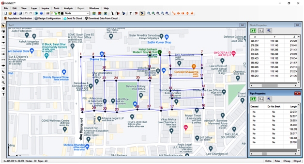
Facility to extract node data properties from google maps.
Data extraction includes the elevation data as well.
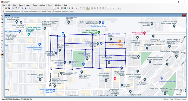
You can import the background image from google maps for easier reference.
Highly organized layer system for better visibility and formatting.
Full integration of export/import with CAD software like AutoCAD.
Override features also available.
Forecasting of the population by the standard methods used worldwide.
Getting the projected population data for accurate loading including graphical methods instantaneously.
A unique feature of the software where only undirected pipes can be defined for intelligent network computation.
Finding networks with cost optimization & efficient design, i.e. detection of best routes of its own.
In-house Artificial Intelligence algorithms to optimize the system.
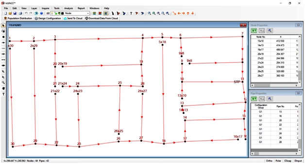
Output file showing the optimal directed network, i.e. determination of the flow provided by "InSINCE" itself.
Intelligent breaking of the pipes for the optimal network.
Hiding / displaying of the map showing the area details for reference.
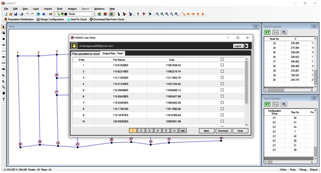
Showing the best multiple networks generated during the optimization process.
Full drawings, reports, calculations, profile generation, etc., of all the networks.
Facility to do manual editing of networks.
Reports showing complete hydraulic design and details.
Hydraulic design as per defined parameters and constraints.
Details of quantities of different materials and activities.
Complete estimation.
Exclusive properties with automatic grouping.
User can edit the report results based on the desired values.
If a user wants to reduce the depth at any node or STP or sink; he can do so using this utility.
The customization of the report result is possible manually by changing the diameter and slopes of pipes to desired values.
The whole process can also be done automatically by defining governing data/parameters.
User can export drawings to Autocad.
It have options to group pipe layers and set layer properties
User can add prefix, align and format text.
User can export all or selected L-Section to Autocad.


